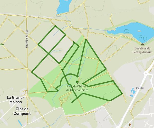
This running route covers 4.877mi starting from Ingrannes, Loiret. The run is a loop trail and returns to the trailhead. This run is rated as easy, expect about 40m to complete it. The route has an elevation gain of 13ft and an elevation loss of 62ft.
Hi HAAA Mercredi !
Route details
7.31mph
Speed
457 kcal
Calories burned
Loop trail
Route type
374ft
Min altitude
433ft
Max altitude
Route profile
13ft
Elevation gain
62ft
Elevation loss
374ft
Min altitude
433ft
Max altitude
How to get there
Trailhead: 16 Route De Pithiviers, 45450 Ingrannes, France
GPS coordinates of the trailhead: 47.9918, 2.21125 / 47°59'30'' N, 2°12'40'' E