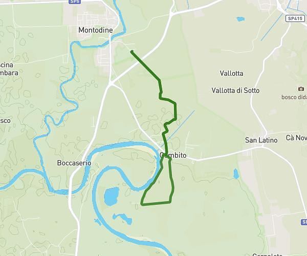
This running route covers 3.651mi starting from Cervignano d'Adda, Lodi. The run does not return to the trailhead and ends near Via Roma 40, 26832 Cervignano d'Adda Lodi, Italy. This run is rated as easy, expect about 50m21s to complete it. The route has an elevation gain of 79ft and an elevation loss of 79ft.
CDF
Route details
4.35mph
Speed
576 kcal
Calories burned
Point to point
Route type
289ft
Min altitude
302ft
Max altitude
Route profile
79ft
Elevation gain
79ft
Elevation loss
289ft
Min altitude
302ft
Max altitude
How to get there
Trailhead: Via Molino 25, 26832 Cervignano d'Adda Lodi, Italy
GPS coordinates of the trailhead: 45.374542, 9.422422 / 45°22'28'' N, 9°25'20'' E