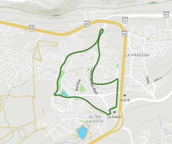
This running route covers 4.291mi starting from Querétaro, Querétaro. The run does not return to the trailhead and ends near Calle Jaral De Peña, 76146 Querétaro. This run is rated as easy, expect about 42m to complete it. The route has an elevation gain of 325ft and an elevation loss of 348ft.
El Refugio 2
Route details
6.13mph
Speed
480 kcal
Calories burned
Point to point
Route type
6473ft
Min altitude
6693ft
Max altitude
Route profile
325ft
Elevation gain
348ft
Elevation loss
6473ft
Min altitude
6693ft
Max altitude
How to get there
Trailhead: Calle Villar Del Águila, 76146 Querétaro
GPS coordinates of the trailhead: 20.64611, -100.34724 / 20°38'45'' N, 100°20'50'' W