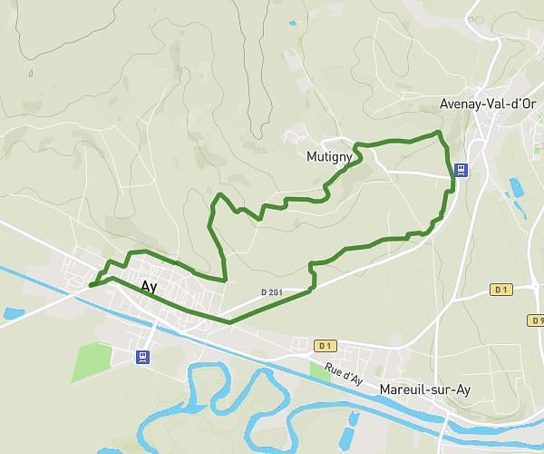
This hiking trail covers 7.48mi starting from Sacy, Marne. The hike is a loop trail and returns to the trailhead. This hike is rated as hard, plan for about 2h54m to complete it. The route has an elevation gain of 1112ft and an elevation loss of 1102ft.
Sacy-pourcy
Route details
2.58mph
Speed
1275 kcal
Calories burned
5.6%
Avg grade
Loop trail
Route type
443ft
Min altitude
896ft
Max altitude
Route profile
1112ft
Elevation gain
1102ft
Elevation loss
443ft
Min altitude
896ft
Max altitude
How to get there
Trailhead: 6 Rue Des Chaillots, 51500 Sacy, France
GPS coordinates of the trailhead: 49.196799, 3.946675 / 49°11'48'' N, 3°56'48'' E