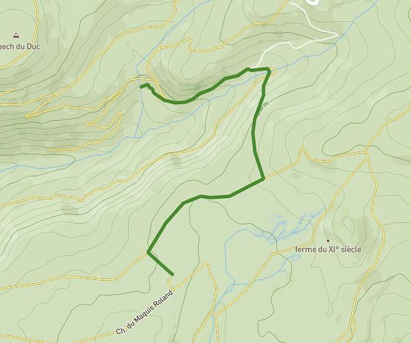
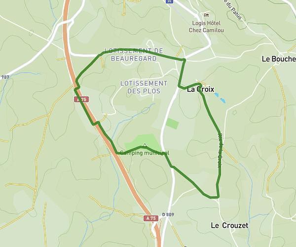
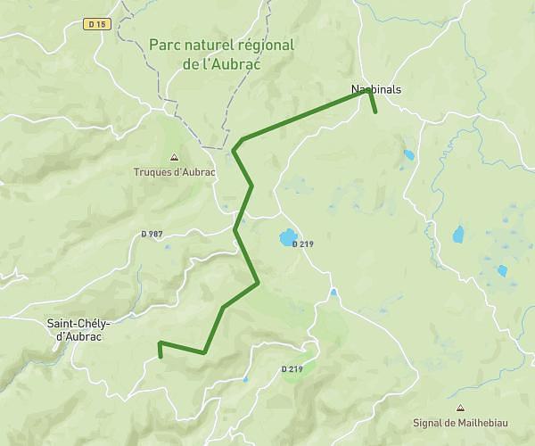
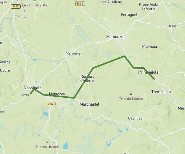
This hiking trail covers 9.731mi starting from Peyre en Aubrac, Lozère. The hike does not return to the trailhead and ends near D 73, 48100 Prinsuéjols-Malbouzon, France. This hike is rated as hard, plan for about 3h43m to complete it. The route has an elevation gain of 1375ft and an elevation loss of 817ft.
St Guilhem le Désert
Route details
2.62mph
Speed
1631 kcal
Calories burned
4.3%
Avg grade
Point to point
Route type
3350ft
Min altitude
4062ft
Max altitude
Route profile
1375ft
Elevation gain
817ft
Elevation loss
3350ft
Min altitude
4062ft
Max altitude
How to get there
Trailhead: 40 Rue De L’Adrech, 48130 Peyre en Aubrac, France
GPS coordinates of the trailhead: 44.720126, 3.284025 / 44°43'12'' N, 3°17'2'' E