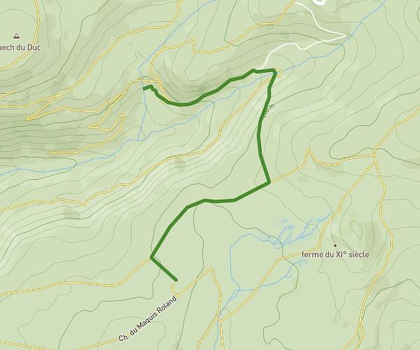
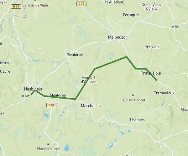
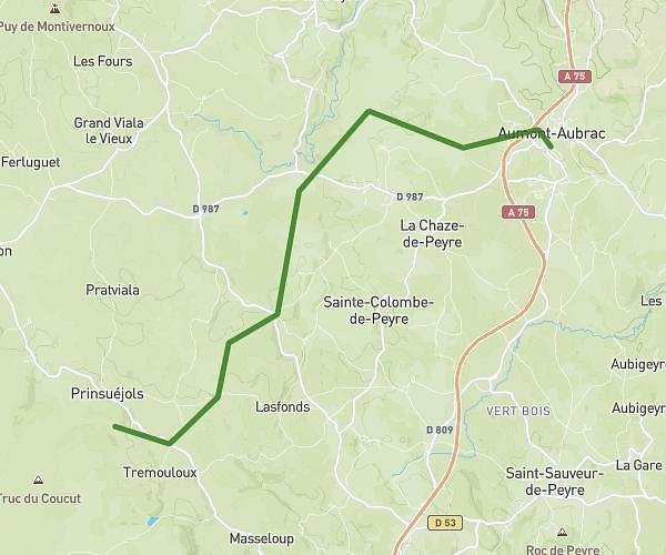
This hiking trail covers 10.803mi starting from Nasbinals, Lozère. The hike does not return to the trailhead and ends near 105 Chemin De La Voie Romaine, 12470 Saint-Chély-d'Aubrac, France. This hike is rated as hard, plan for about 4h20m to complete it. The route has an elevation gain of 1348ft and an elevation loss of 1608ft.
St Guilhem le Désert
Route details
2.49mph
Speed
1897 kcal
Calories burned
5.2%
Avg grade
Point to point
Route type
3714ft
Min altitude
4485ft
Max altitude
Route profile
1348ft
Elevation gain
1608ft
Elevation loss
3714ft
Min altitude
4485ft
Max altitude
How to get there
Trailhead: 30 Chemin Des Granges, 48260 Nasbinals, France
GPS coordinates of the trailhead: 44.655816, 3.046308 / 44°39'20'' N, 3°2'46'' E