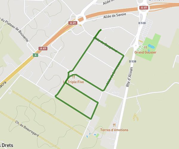
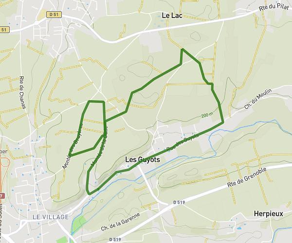
This running route covers 1.852mi starting from Albon, Drôme. The run is a loop trail and returns to the trailhead. This run is rated as easy, expect about 30m to complete it. The route has an elevation gain of 407ft and an elevation loss of 407ft.
Entrainement semadi 20/09
Route details
3.7mph
Speed
343 kcal
Calories burned
Loop trail
Route type
732ft
Min altitude
1076ft
Max altitude
Route profile
407ft
Elevation gain
407ft
Elevation loss
732ft
Min altitude
1076ft
Max altitude
How to get there
Trailhead: 1430 Route De La Vittonière, 26140 Albon, France
GPS coordinates of the trailhead: 45.24979, 4.86611 / 45°14'59'' N, 4°51'57'' E