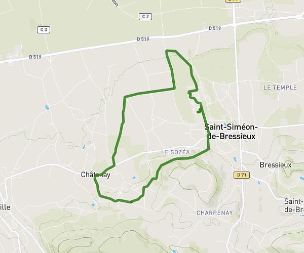
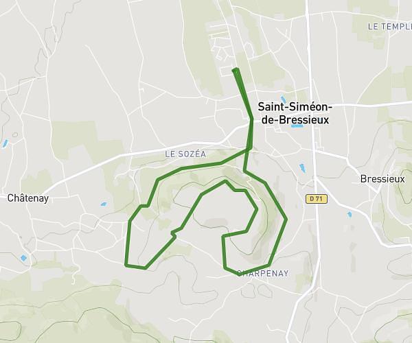
This running route covers 4.829mi starting from Cour-et-Buis, Isère. The run is a loop trail and returns to the trailhead. This run is rated as easy, expect about 1h9m to complete it. The route has an elevation gain of 597ft and an elevation loss of 597ft.
COUR ET BUIS FERME
Route details
4.14mph
Speed
799 kcal
Calories burned
Loop trail
Route type
1119ft
Min altitude
1519ft
Max altitude
Route profile
597ft
Elevation gain
597ft
Elevation loss
1119ft
Min altitude
1519ft
Max altitude
How to get there
Trailhead: 347 Route De La Côte-Saint-André, 38122 Cour-et-Buis, France
GPS coordinates of the trailhead: 45.4413, 5.00813 / 45°26'28'' N, 5°0'29'' E