MapPlanner
7.629mi
Distance
1h6m
Duration
8:47/mi
Pace
Hard
Level

Classique: Les Monts de Vienne

Route details

6.84mph
Speed
765 kcal
Calories burned
Loop trail
Route type
551ft
Min altitude
928ft
Max altitude

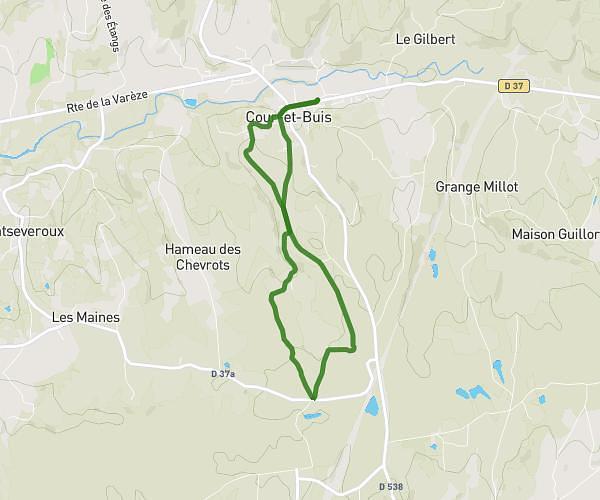
This running route covers 7.629mi starting from Vienne, Isère. The run is a loop trail and returns to the trailhead. This run is rated as hard, expect about 1h6m to complete it. The route has an elevation gain of 1358ft and an elevation loss of 1358ft.

Description of the route by the creator

Via Mont Arnaud, Charlemagne hill, Saint-Blandine hill, Mont Pipet then Mont Saint-Just / Saint-Gervais via Montée de Tupinières

(Description automatically translated)

Route profile

1358ft
Elevation gain
1358ft
Elevation loss
551ft
Min altitude
928ft
Max altitude

How to get there

Trailhead: 1 Place De La Gère, 38200 Vienne, France

GPS coordinates of the trailhead: 45.52752, 4.8802 / 45°31'39'' N, 4°52'48'' E

Caution: May Cross Private Property

This route may pass through or near private property. Always respect posted signs, obtain permission where required, and follow local trespassing laws. MapPlanner does not guarantee public access along any route.

Safety Notice

Trail and road conditions may change without notice due to weather, construction, or other factors. Always verify current conditions before heading out. You are responsible for your own safety — follow local signage, obey traffic laws, and use your best judgment on the trail.