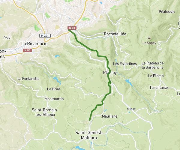
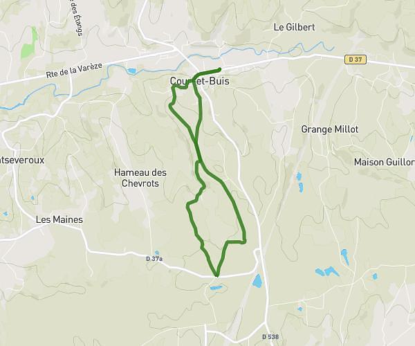
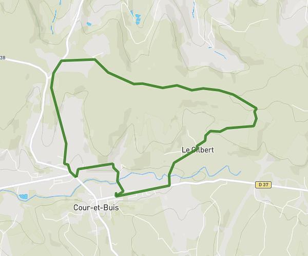
This running route covers 30.523mi starting from Échalas, Rhône. The run does not return to the trailhead and ends near 835 Route D'hémin, 69700 Échalas, France. This run is rated as strenuous, expect about 5h27m to complete it. The route has an elevation gain of 384ft and an elevation loss of 551ft.
Echalas
Route details
5.6mph
Speed
3739 kcal
Calories burned
Point to point
Route type
1030ft
Min altitude
1401ft
Max altitude
Route profile
384ft
Elevation gain
551ft
Elevation loss
1030ft
Min altitude
1401ft
Max altitude
How to get there
Trailhead: 11 Rue De L'église, 69700 Échalas, France
GPS coordinates of the trailhead: 45.551773, 4.715299 / 45°33'6'' N, 4°42'55'' E