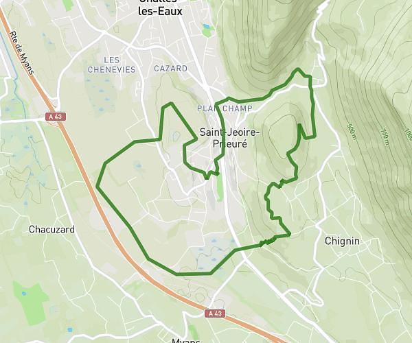
This running route covers 4.627mi starting from Tencin, Isère. The run is a loop trail and returns to the trailhead. This run is rated as easy, expect about 1h45m to complete it. The route has an elevation gain of 837ft and an elevation loss of 837ft.
7km nocturne
Route details
2.64mph
Speed
1201 kcal
Calories burned
Loop trail
Route type
771ft
Min altitude
1430ft
Max altitude
Route profile
837ft
Elevation gain
837ft
Elevation loss
771ft
Min altitude
1430ft
Max altitude
How to get there
Trailhead: 65 Allée Du Stade, 38570 Tencin, France
GPS coordinates of the trailhead: 45.304093, 5.952001 / 45°18'14'' N, 5°57'7'' E