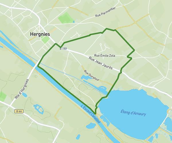
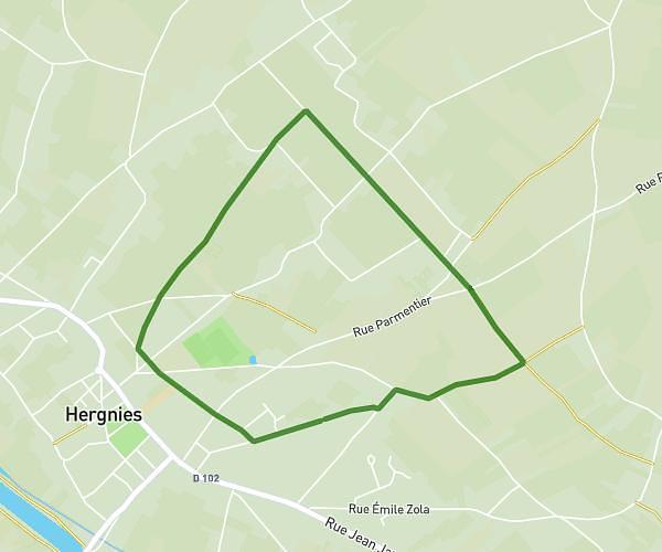
This walking route covers 2.263mi starting from Hergnies, Nord. The walk is a loop trail and returns to the trailhead. This walk is rated as easy, plan for about 48m to complete it. The route has an elevation gain of 95ft and an elevation loss of 95ft.
Hergnies petite boucle
Route details
21:13/mi
Pace
196 kcal
Calories burned
Loop trail
Route type
56ft
Min altitude
95ft
Max altitude
Route profile
95ft
Elevation gain
95ft
Elevation loss
56ft
Min altitude
95ft
Max altitude
How to get there
Trailhead: 52 Rue Édouard Vaillant, 59199 Hergnies, France
GPS coordinates of the trailhead: 50.473788, 3.534588 / 50°28'25'' N, 3°32'4'' E