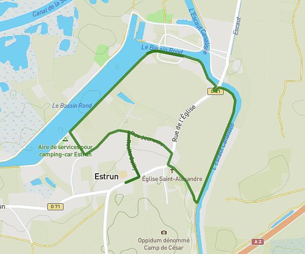
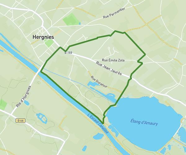
This walking route covers 2.062mi starting from Marly, Nord. The walk is a loop trail and returns to the trailhead. This walk is rated as easy, plan for about 49m47s to complete it. The route has an elevation gain of 115ft and an elevation loss of 115ft.
Marche
Route details
24:08/mi
Pace
203 kcal
Calories burned
Loop trail
Route type
135ft
Min altitude
187ft
Max altitude
Route profile
115ft
Elevation gain
115ft
Elevation loss
135ft
Min altitude
187ft
Max altitude
How to get there
Trailhead: 4 Ruelle Bavay, 59770 Marly, France
GPS coordinates of the trailhead: 50.336785, 3.526915 / 50°20'12'' N, 3°31'36'' E