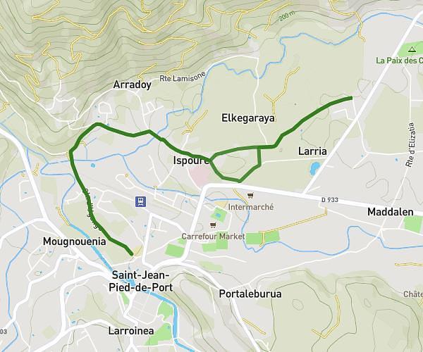
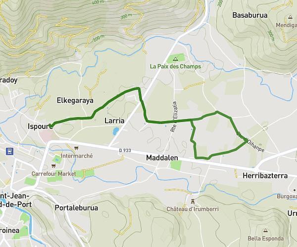
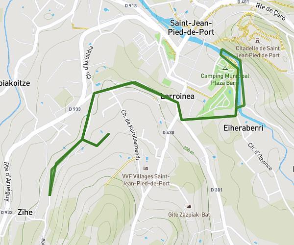
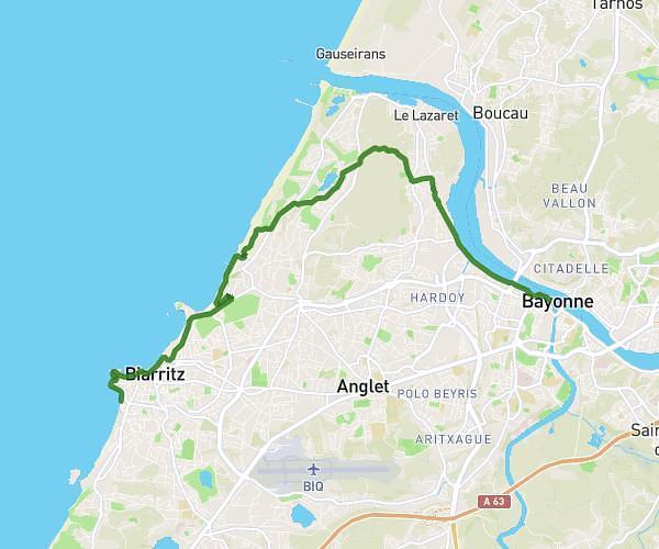
This running route covers 3.464mi starting from Saint-Jean-Pied-de-Port, Pyrénées-Atlantiques. The run is a loop trail and returns to the trailhead. This run is rated as easy, expect about 50m to complete it. The route has an elevation gain of 328ft and an elevation loss of 325ft.
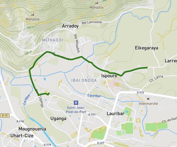
Ugange
Route details
4.16mph
Speed
572 kcal
Calories burned
Loop trail
Route type
502ft
Min altitude
597ft
Max altitude
Route profile
328ft
Elevation gain
325ft
Elevation loss
502ft
Min altitude
597ft
Max altitude
How to get there
Trailhead: 4 Chemin D'ugange, 64220 Saint-Jean-Pied-de-Port, France
GPS coordinates of the trailhead: 43.164527, -1.238633 / 43°9'52'' N, 1°14'19'' W