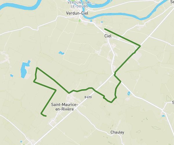
This hiking trail covers 8.122mi starting from Ciel, Saône-et-Loire. The hike does not return to the trailhead and ends near Rue Émile Jeunon, 71620 Saint-Maurice-en-Rivière. This hike is rated as easy, plan for about 2h12m to complete it. The route has an elevation gain of 190ft and an elevation loss of 203ft.
31-05-2025
Route details
3.69mph
Speed
931 kcal
Calories burned
0.9%
Avg grade
Point to point
Route type
554ft
Min altitude
581ft
Max altitude
Route profile
190ft
Elevation gain
203ft
Elevation loss
554ft
Min altitude
581ft
Max altitude
How to get there
Trailhead: Route De Verdun, 71350 Ciel
GPS coordinates of the trailhead: 46.8869, 5.03733 / 46°53'12'' N, 5°2'14'' E