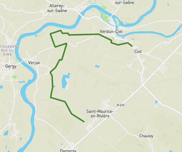
This hiking trail covers 8.6mi starting from Saint-Maurice-en-Rivière, Saône-et-Loire. The hike does not return to the trailhead and ends near Rue Des Halles, 71350 Ciel. This hike is rated as easy, plan for about 2h30m to complete it. The route has an elevation gain of 213ft and an elevation loss of 200ft.
31-05-2025 ap
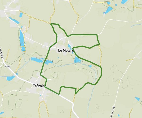
Route details
3.44mph
Speed
1058 kcal
Calories burned
0.9%
Avg grade
Point to point
Route type
561ft
Min altitude
623ft
Max altitude
Route profile
213ft
Elevation gain
200ft
Elevation loss
561ft
Min altitude
623ft
Max altitude
How to get there
Trailhead: Rue Émile Jeunon, 71620 Saint-Maurice-en-Rivière
GPS coordinates of the trailhead: 46.84843, 5.00146 / 46°50'54'' N, 5°0'5'' E