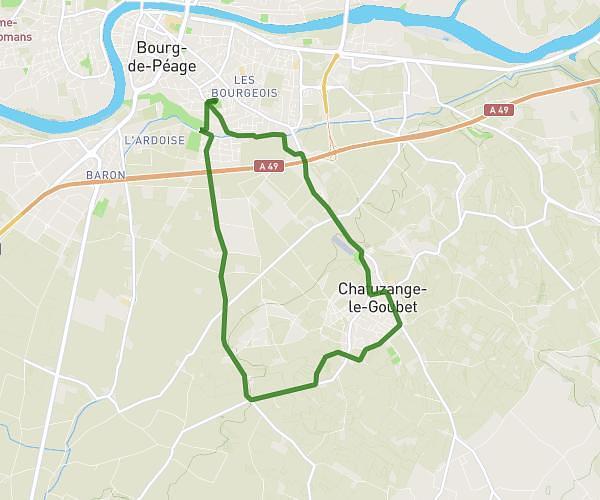
This cycling route covers 5.495mi starting from Montoison, Drôme. The ride is a loop trail and returns to the trailhead. This route is rated as easy, plan for about 33m to complete it. The route has an elevation gain of 148ft and an elevation loss of 164ft.
agrement montoison PAIR
Route details
291 kcal
Calories burned
1.1%
Avg grade
Loop trail
Route type
469ft
Min altitude
633ft
Max altitude
Route profile
148ft
Elevation gain
164ft
Elevation loss
469ft
Min altitude
633ft
Max altitude
How to get there
Trailhead: Chemin Des Écoliers, 26800 Montoison
GPS coordinates of the trailhead: 44.79575, 4.94154 / 44°47'44'' N, 4°56'29'' E