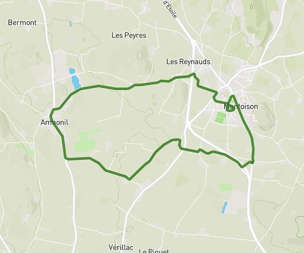
This cycling route covers 7.463mi starting from Bourg-de-Péage, Drôme. The ride is a loop trail and returns to the trailhead. This route is rated as easy, plan for about 19m5s to complete it. The route has an elevation gain of 400ft and an elevation loss of 400ft.
Contre la montre CDF du Clergé
Route details
169 kcal
Calories burned
2.0%
Avg grade
Loop trail
Route type
535ft
Min altitude
778ft
Max altitude
Route profile
400ft
Elevation gain
400ft
Elevation loss
535ft
Min altitude
778ft
Max altitude
How to get there
Trailhead: 9 Avenue De Mindelheim, 26300 Bourg-de-Péage, France
GPS coordinates of the trailhead: 45.03017, 5.06136 / 45°1'48'' N, 5°3'40'' E