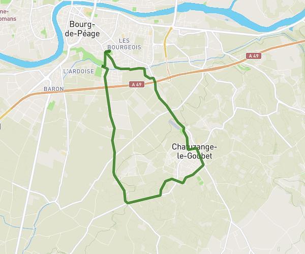
This cycling route covers 7.077mi starting from Roybon, Isère. The ride is a loop trail and returns to the trailhead. This route is rated as moderate, plan for about 18m3s to complete it. The route has an elevation gain of 807ft and an elevation loss of 807ft.
VTT roybon
Route details
162 kcal
Calories burned
4.3%
Avg grade
Loop trail
Route type
1677ft
Min altitude
2073ft
Max altitude
Route profile
807ft
Elevation gain
807ft
Elevation loss
1677ft
Min altitude
2073ft
Max altitude
How to get there
Trailhead: 100 Route Du Vicat, 38940 Roybon, France
GPS coordinates of the trailhead: 45.24943, 5.24609 / 45°14'57'' N, 5°14'45'' E