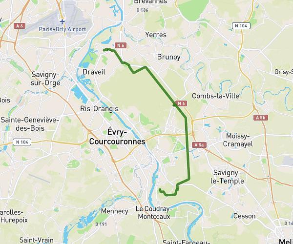
This cycling route covers 7.044mi starting from Champigny-sur-Marne, Val-de-Marne. The ride does not return to the trailhead and ends near Nautil Espace Escalade, 77340 Pontault-Combault. This route is rated as easy, plan for about 56m to complete it. The route has an elevation gain of 292ft and an elevation loss of 200ft.
M N
Route details
495 kcal
Calories burned
1.3%
Avg grade
Point to point
Route type
236ft
Min altitude
348ft
Max altitude
Route profile
292ft
Elevation gain
200ft
Elevation loss
236ft
Min altitude
348ft
Max altitude
How to get there
Trailhead: Rue Des Hauts Perreux, 94500 Champigny-sur-Marne
GPS coordinates of the trailhead: 48.81594, 2.51647 / 48°48'57'' N, 2°30'59'' E