MapPlanner
16.041mi
Distance
2h1m
Duration
7.95mph
Speed
+177ft
Elevation gain
-174ft
Elevation loss
Moderate
Level

Grand Parcours Paris Sud-Ouest

Route details

1062 kcal
Calories burned
0.4%
Avg grade
Loop trail
Route type
112ft
Min altitude
240ft
Max altitude

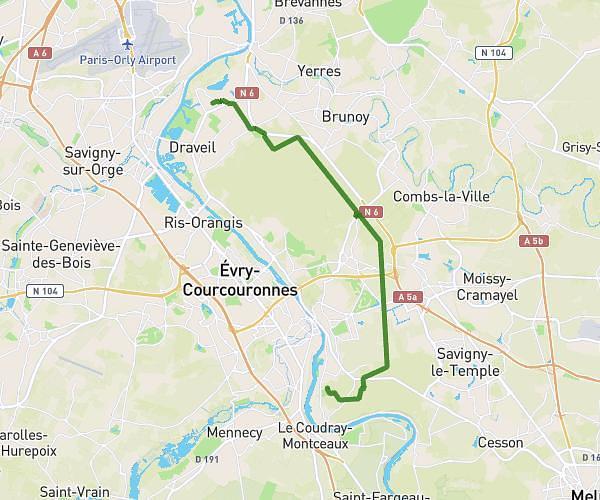
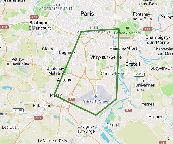
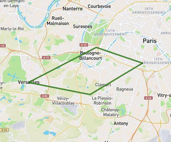
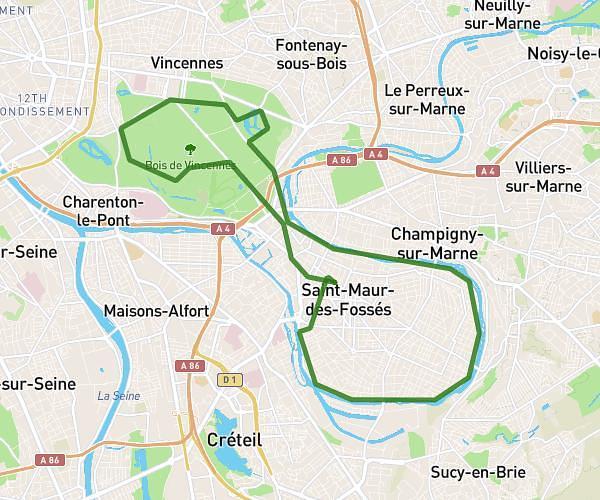
This cycling route covers 16.041mi starting from Île-de-France, Paris. The ride is a loop trail and returns to the trailhead. This route is rated as moderate, plan for about 2h1m to complete it. The route has an elevation gain of 177ft and an elevation loss of 174ft.

Route profile

177ft
Elevation gain
174ft
Elevation loss
112ft
Min altitude
240ft
Max altitude

How to get there

Trailhead: 47 Avenue René Coty, 75014 Paris, France

GPS coordinates of the trailhead: 48.826526, 2.335442 / 48°49'35'' N, 2°20'7'' E

Caution: May Cross Private Property

This route may pass through or near private property. Always respect posted signs, obtain permission where required, and follow local trespassing laws. MapPlanner does not guarantee public access along any route.

Safety Notice

Trail and road conditions may change without notice due to weather, construction, or other factors. Always verify current conditions before heading out. You are responsible for your own safety — follow local signage, obey traffic laws, and use your best judgment on the trail.