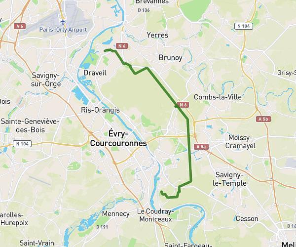
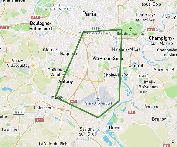
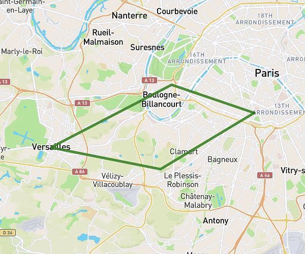
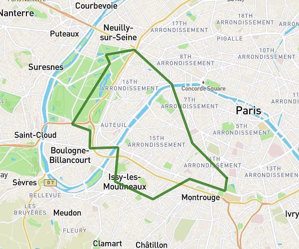
This cycling route covers 16.428mi starting from Saint-Maur-des-Fossés, Val-de-Marne. The ride is a loop trail and returns to the trailhead. This route is rated as easy, plan for about 1h3m to complete it. The route has an elevation gain of 85ft and an elevation loss of 79ft.
Sortie vélo
Route details
556 kcal
Calories burned
0.2%
Avg grade
Loop trail
Route type
108ft
Min altitude
184ft
Max altitude
Route profile
85ft
Elevation gain
79ft
Elevation loss
108ft
Min altitude
184ft
Max altitude
How to get there
Trailhead: 102 Avenue De Marinville, 94100 Saint-Maur-des-Fossés, France
GPS coordinates of the trailhead: 48.806526, 2.481591 / 48°48'23'' N, 2°28'53'' E