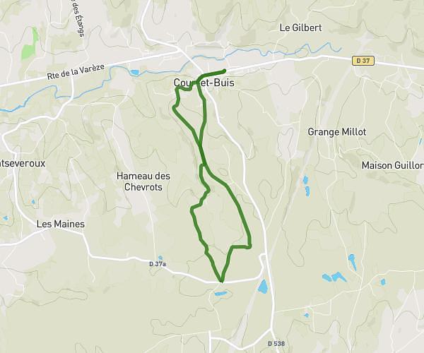
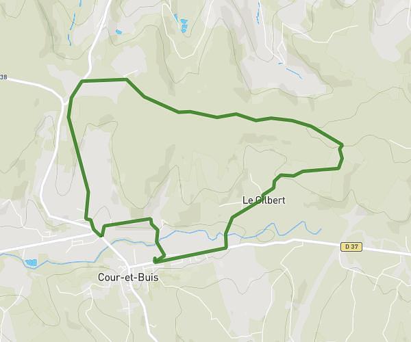
This running route covers 4.694mi starting from Corbas, Rhône. The run is a loop trail and returns to the trailhead. This run is rated as easy, expect about 50m21s to complete it. The route has an elevation gain of 233ft and an elevation loss of 240ft.
Corbas vendredi
Route details
5.59mph
Speed
576 kcal
Calories burned
Loop trail
Route type
653ft
Min altitude
748ft
Max altitude
Route profile
233ft
Elevation gain
240ft
Elevation loss
653ft
Min altitude
748ft
Max altitude
How to get there
Trailhead: 26 Chemin Des Vignes, 69960 Corbas, France
GPS coordinates of the trailhead: 45.66865, 4.89586 / 45°40'7'' N, 4°53'45'' E