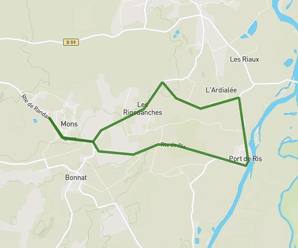
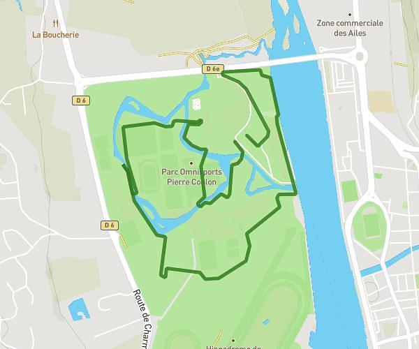
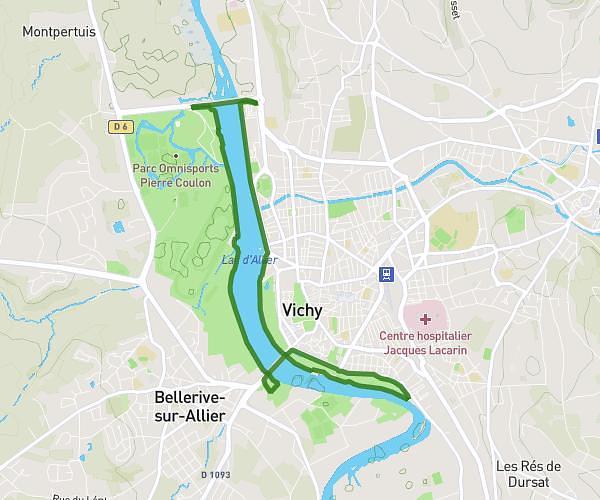
This running route covers 8.564mi starting from Saint-Germain-des-Fossés, Allier. The run does not return to the trailhead and ends near 17 Rue De Grégatières, 03260 Saint-Germain-des-Fossés, France. This run is rated as hard, expect about 1h23m to complete it. The route has an elevation gain of 469ft and an elevation loss of 423ft.
Cec
Route details
6.19mph
Speed
949 kcal
Calories burned
Point to point
Route type
771ft
Min altitude
906ft
Max altitude
Route profile
469ft
Elevation gain
423ft
Elevation loss
771ft
Min altitude
906ft
Max altitude
How to get there
Trailhead: 4 Rue Valéry Larbaud, 03260 Saint-Germain-des-Fossés, France
GPS coordinates of the trailhead: 46.20368, 3.43821 / 46°12'13'' N, 3°26'17'' E