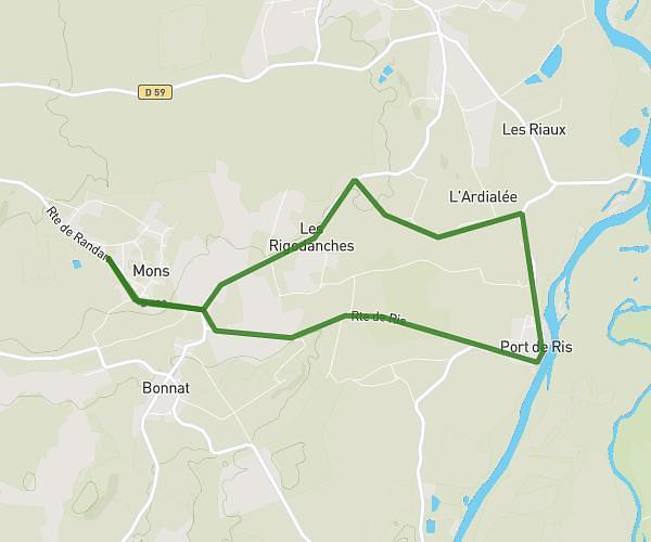
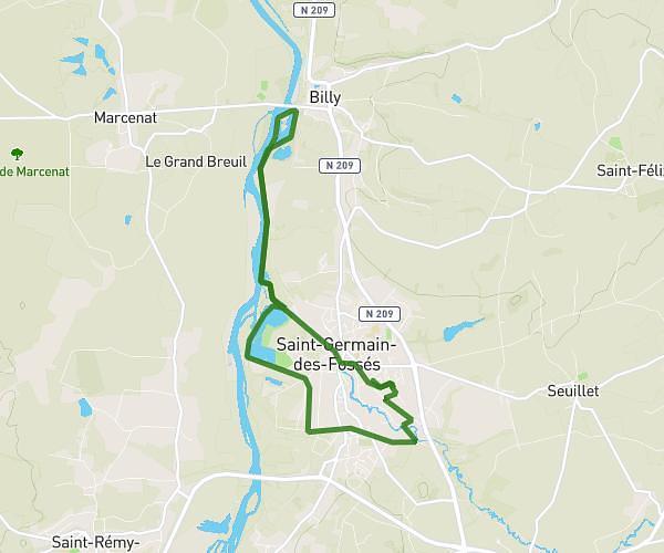
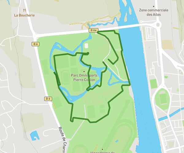
This running route covers 6.145mi starting from Vichy, Allier. The run is a loop trail and returns to the trailhead. This run is rated as moderate, expect about 2h12m to complete it. The route has an elevation gain of 240ft and an elevation loss of 243ft.
10km
Route details
2.8mph
Speed
1509 kcal
Calories burned
Loop trail
Route type
814ft
Min altitude
860ft
Max altitude
Route profile
240ft
Elevation gain
243ft
Elevation loss
814ft
Min altitude
860ft
Max altitude
How to get there
Trailhead: 18 Quai D'allier, 03200 Vichy, France
GPS coordinates of the trailhead: 46.12812, 3.41574 / 46°7'41'' N, 3°24'56'' E