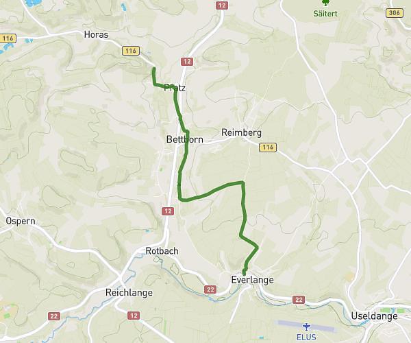
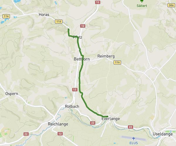
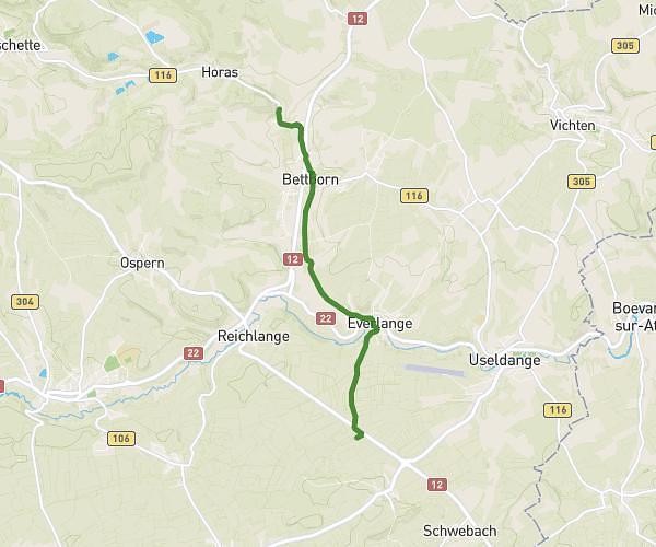
This cycling route covers 18.53mi starting from Bastogne, Luxembourg. The ride is a loop trail and returns to the trailhead. This route is rated as moderate, plan for about 1h52m to complete it. The route has an elevation gain of 367ft and an elevation loss of 371ft.
Balade
Route details
986 kcal
Calories burned
0.8%
Avg grade
Loop trail
Route type
1437ft
Min altitude
1683ft
Max altitude
Route profile
367ft
Elevation gain
371ft
Elevation loss
1437ft
Min altitude
1683ft
Max altitude
How to get there
Trailhead: Arloncourt, 6600 Bastogne
GPS coordinates of the trailhead: 50.02616, 5.80601 / 50°1'34'' N, 5°48'21'' E