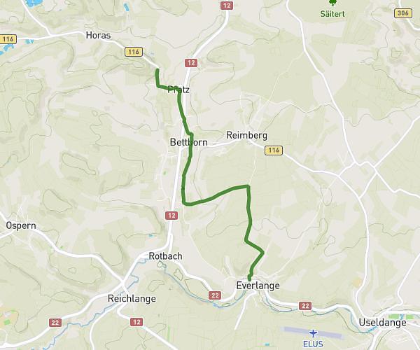
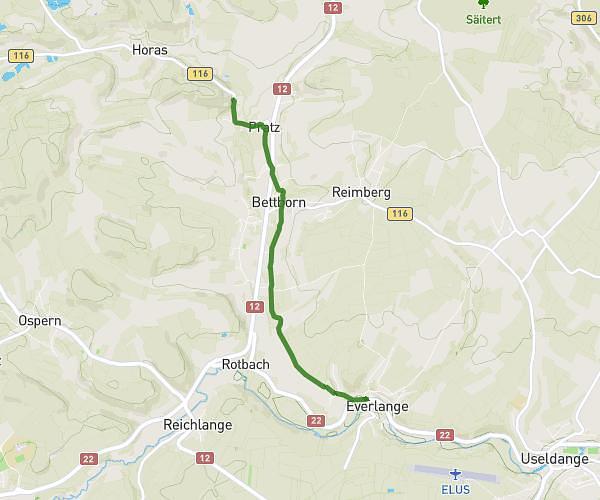
This cycling route covers 4.078mi starting from Pratz, Redange. The ride does not return to the trailhead and ends near Ancienne Ligne Pétange-Ettelbruck, 8715 Everlange. This route is rated as easy, plan for about 25m to complete it. The route has an elevation gain of 128ft and an elevation loss of 197ft.
Test
Route details
220 kcal
Calories burned
1.5%
Avg grade
Point to point
Route type
823ft
Min altitude
948ft
Max altitude
Route profile
128ft
Elevation gain
197ft
Elevation loss
823ft
Min altitude
948ft
Max altitude
How to get there
Trailhead: Rue De Folschette, 8613 Pratz
GPS coordinates of the trailhead: 49.80476, 5.93268 / 49°48'17'' N, 5°55'57'' E