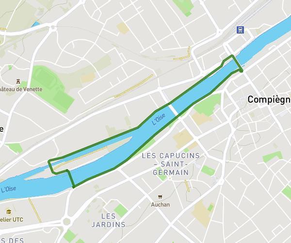
This walking route covers 4.691mi starting from Clermont, Oise. The walk is a loop trail and returns to the trailhead. This walk is rated as moderate, plan for about 1h10m to complete it. The route has an elevation gain of 367ft and an elevation loss of 367ft.
Le 26-05-26
Route details
14:55/mi
Pace
286 kcal
Calories burned
Loop trail
Route type
171ft
Min altitude
344ft
Max altitude
Route profile
367ft
Elevation gain
367ft
Elevation loss
171ft
Min altitude
344ft
Max altitude
How to get there
Trailhead: 6 Chemin De La Croix De Creil, 60600 Clermont, France
GPS coordinates of the trailhead: 49.368749, 2.418607 / 49°22'7'' N, 2°25'6'' E