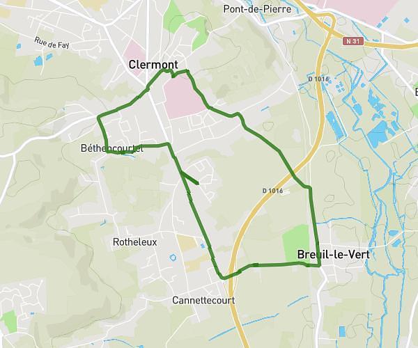
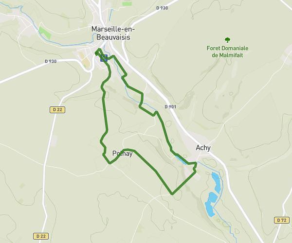
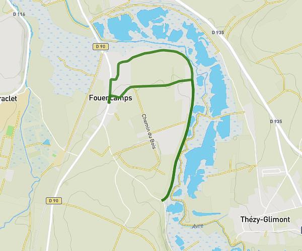
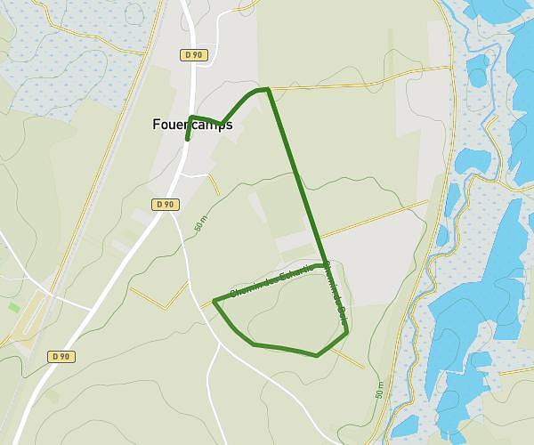
This walking route covers 3.939mi starting from Campremy, Oise. The walk is a loop trail and returns to the trailhead. This walk is rated as easy, plan for about 1h25m to complete it. The route has an elevation gain of 220ft and an elevation loss of 200ft.
Marche gourmande 2026
Route details
21:33/mi
Pace
347 kcal
Calories burned
Loop trail
Route type
436ft
Min altitude
515ft
Max altitude
Route profile
220ft
Elevation gain
200ft
Elevation loss
436ft
Min altitude
515ft
Max altitude
How to get there
Trailhead: 8 Rue Jean, 60480 Campremy, France
GPS coordinates of the trailhead: 49.568809, 2.314418 / 49°34'7'' N, 2°18'51'' E