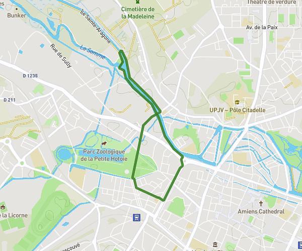
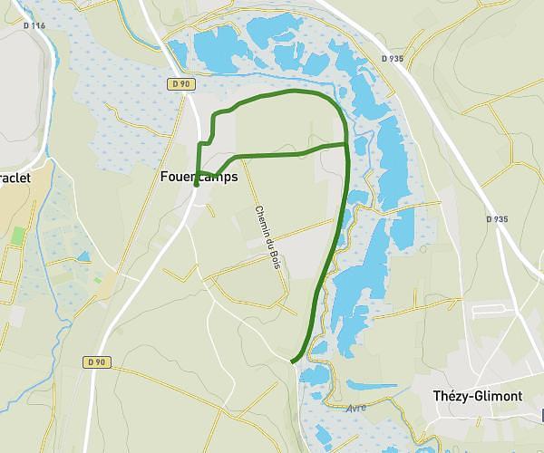
This walking route covers 1.983mi starting from Fouencamps, Somme. The walk is a loop trail and returns to the trailhead. This walk is rated as easy, plan for about 1h to complete it. The route has an elevation gain of 164ft and an elevation loss of 164ft.
Balade 2
Route details
30:16/mi
Pace
245 kcal
Calories burned
Loop trail
Route type
128ft
Min altitude
230ft
Max altitude
Route profile
164ft
Elevation gain
164ft
Elevation loss
128ft
Min altitude
230ft
Max altitude
How to get there
Trailhead: Rue De La Noye, 80440 Fouencamps
GPS coordinates of the trailhead: 49.82403, 2.40705 / 49°49'26'' N, 2°24'25'' E