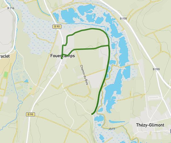
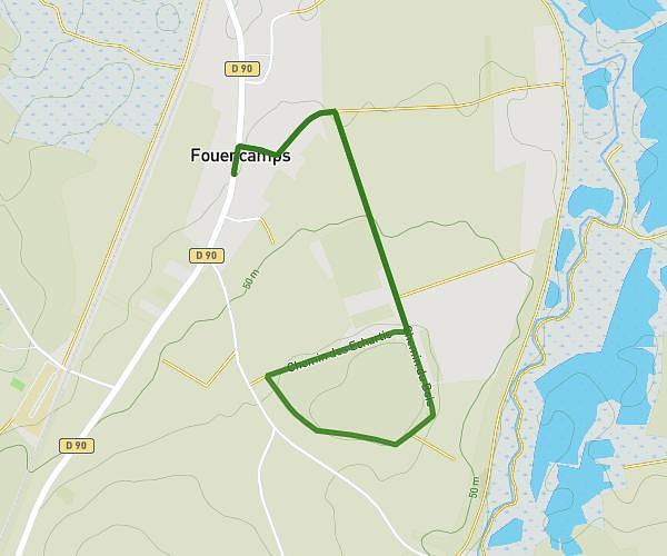
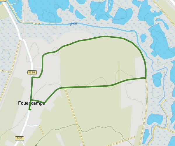
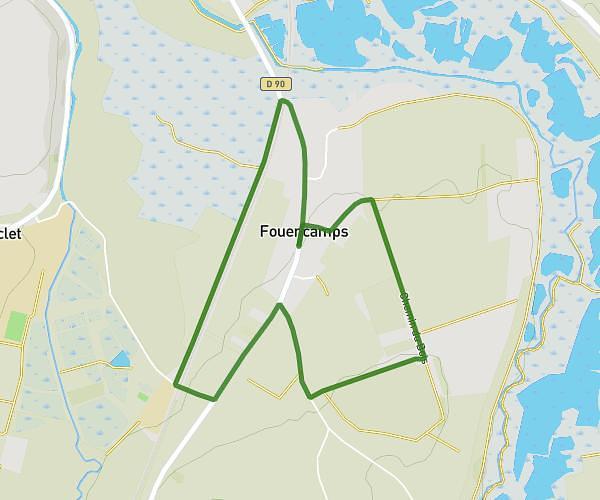
This walking route covers 3.497mi starting from Rosières-en-Santerre, Somme. The walk is a loop trail and returns to the trailhead. This walk is rated as moderate, plan for about 1h15m to complete it. The route has an elevation gain of 184ft and an elevation loss of 180ft.
boucle 5.6
Route details
21:27/mi
Pace
306 kcal
Calories burned
Loop trail
Route type
240ft
Min altitude
302ft
Max altitude
Route profile
184ft
Elevation gain
180ft
Elevation loss
240ft
Min altitude
302ft
Max altitude
How to get there
Trailhead: Rue Des Anciens Combattants, 80170 Rosières-en-Santerre, France
GPS coordinates of the trailhead: 49.81168, 2.695095 / 49°48'42'' N, 2°41'42'' E