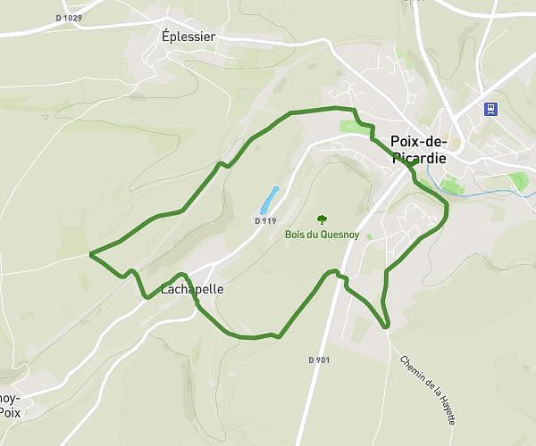
This walking route covers 4.973mi starting from Marseille-en-Beauvaisis, Oise. The walk is a loop trail and returns to the trailhead. This walk is rated as hard, plan for about 2h3s to complete it. The route has an elevation gain of 341ft and an elevation loss of 341ft.
Balade autour de MARSEILE par ACHY
Route details
24:08/mi
Pace
490 kcal
Calories burned
Loop trail
Route type
335ft
Min altitude
538ft
Max altitude
Route profile
341ft
Elevation gain
341ft
Elevation loss
335ft
Min altitude
538ft
Max altitude
How to get there
Trailhead: Rue Philéas Lebesgue, 60690 Marseille-en-Beauvaisis
GPS coordinates of the trailhead: 49.57149, 1.95299 / 49°34'17'' N, 1°57'10'' E