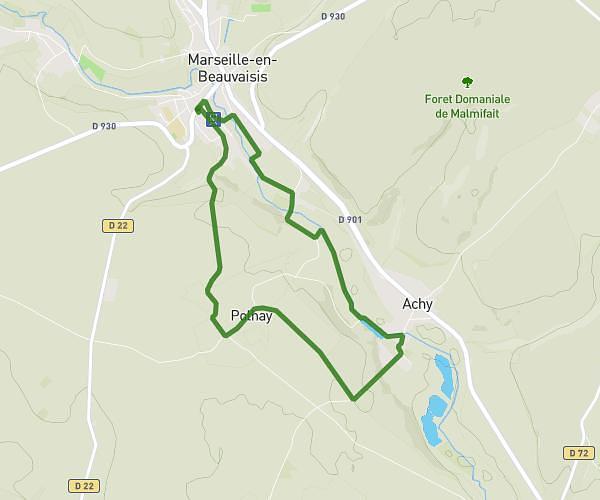
This walking route covers 5.317mi starting from Poix-de-Picardie, Somme. The walk is a loop trail and returns to the trailhead. This walk is rated as hard, plan for about 1h21m to complete it. The route has an elevation gain of 522ft and an elevation loss of 522ft.
Chemin meuf eux Lachapelle poix
Route details
15:14/mi
Pace
331 kcal
Calories burned
Loop trail
Route type
341ft
Min altitude
604ft
Max altitude
Route profile
522ft
Elevation gain
522ft
Elevation loss
341ft
Min altitude
604ft
Max altitude
How to get there
Trailhead: Rue Saint-Martin, 80290 Poix-de-Picardie
GPS coordinates of the trailhead: 49.77423, 1.98166 / 49°46'27'' N, 1°58'53'' E