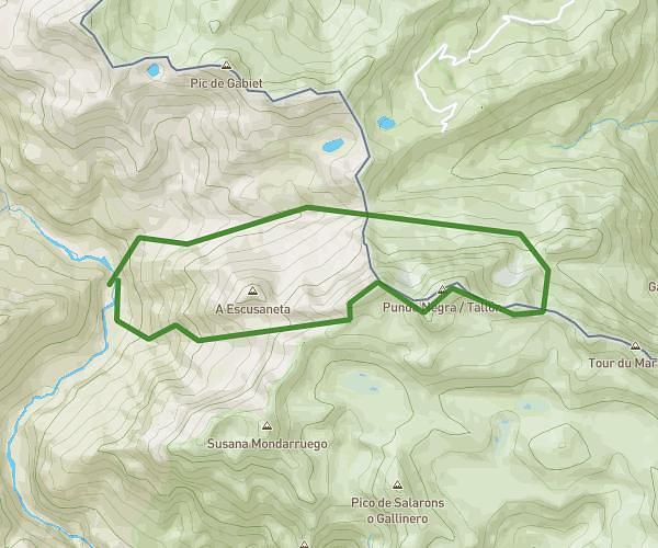
This running route covers 13.733mi starting from Torla-Ordesa, Huesca. The run is a loop trail and returns to the trailhead. This run is rated as strenuous, expect about 6h to complete it. The route has an elevation gain of 3327ft and an elevation loss of 335ft.
Desde camping de Bujaruelo, Taillón x brecha de rolando+crestas de los gabietos
Route details
2.29mph
Speed
4116 kcal
Calories burned
Loop trail
Route type
4964ft
Min altitude
8291ft
Max altitude
High altitude
Route profile
3327ft
Elevation gain
335ft
Elevation loss
4964ft
Min altitude
8291ft
Max altitude
How to get there
Trailhead: Camino Valle De Bujaruelo, 22378 Torla-Ordesa, Huesca, Spain
GPS coordinates of the trailhead: 42.695573, -0.105696 / 42°41'44'' N, 0°6'20'' W