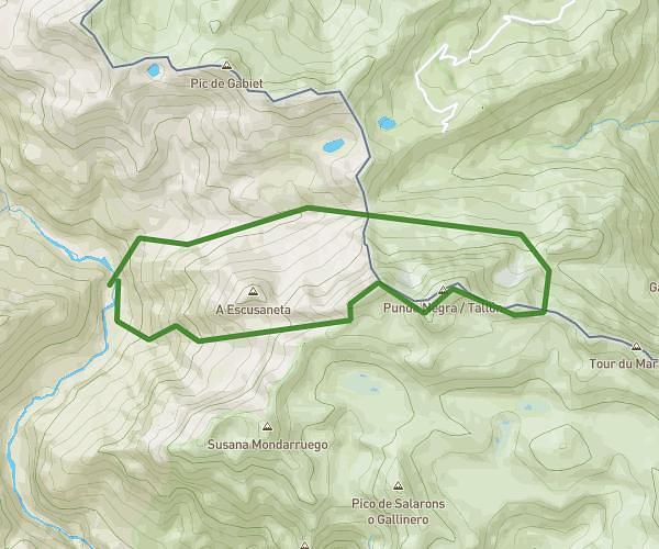
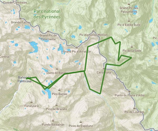
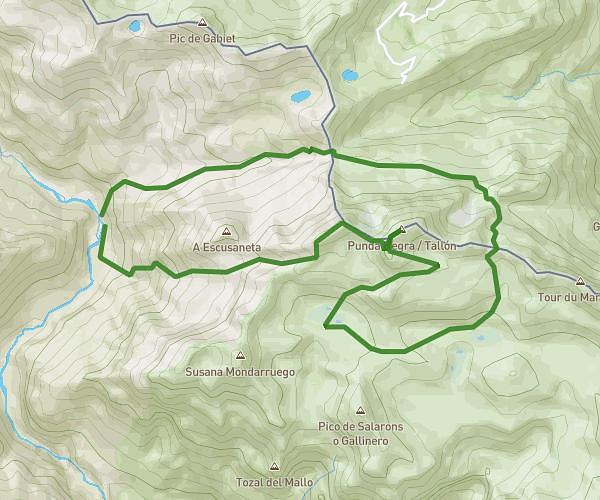
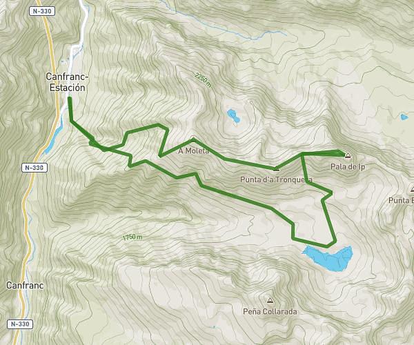
This running route covers 14.028mi starting from Hoz de Jaca, Huesca. The run is a loop trail and returns to the trailhead. This run is rated as strenuous, expect about 5h to complete it. The route has an elevation gain of 3255ft and an elevation loss of 3455ft.
Hoz de jaca - peñas: sabocos, roya, blanc (cresterio)a
Route details
2.81mph
Speed
3430 kcal
Calories burned
Loop trail
Route type
4163ft
Min altitude
7618ft
Max altitude
Route profile
3255ft
Elevation gain
3455ft
Elevation loss
4163ft
Min altitude
7618ft
Max altitude
How to get there
Trailhead: Avenida Del Mirador 5, 22662 Hoz de Jaca, Huesca, Spain
GPS coordinates of the trailhead: 42.689326, -0.305308 / 42°41'21'' N, 0°18'19'' W