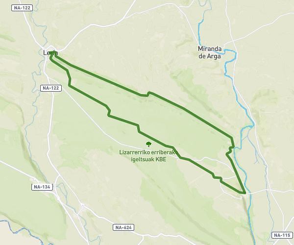
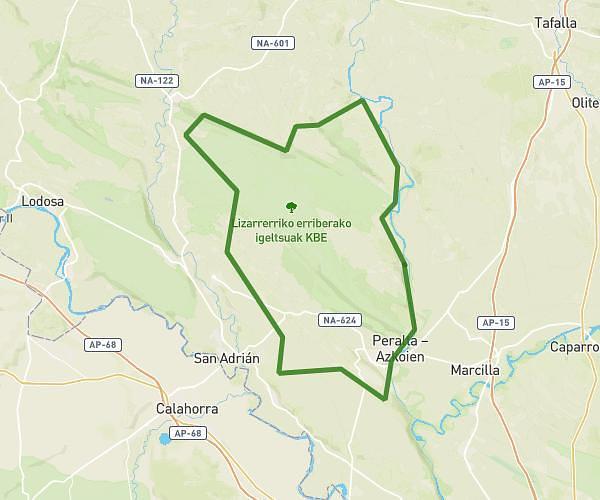
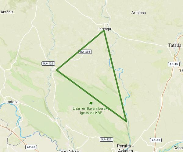
This cycling route covers 38.371mi starting from Falces, Navarre. The ride is a loop trail and returns to the trailhead. This route is rated as strenuous, plan for about 4h to complete it. The route has an elevation gain of 1896ft and an elevation loss of 1893ft.
Falces-Funes-Azagra-Lerin
Route details
2126 kcal
Calories burned
1.9%
Avg grade
Loop trail
Route type
919ft
Min altitude
1670ft
Max altitude
Route profile
1896ft
Elevation gain
1893ft
Elevation loss
919ft
Min altitude
1670ft
Max altitude
How to get there
Trailhead: Calle Romana Echavarria 4, 31370 Falces, Navarre, Spain
GPS coordinates of the trailhead: 42.387333, -1.794355 / 42°23'14'' N, 1°47'39'' W