MapPlanner
26.254mi
Distance
3h10m
Duration
8.29mph
Speed
+2687ft
Elevation gain
-2680ft
Elevation loss
Strenuous
Level

Fslces - Lerin

Route details

1705 kcal
Calories burned
3.9%
Avg grade
Loop trail
Route type
958ft
Min altitude
1663ft
Max altitude

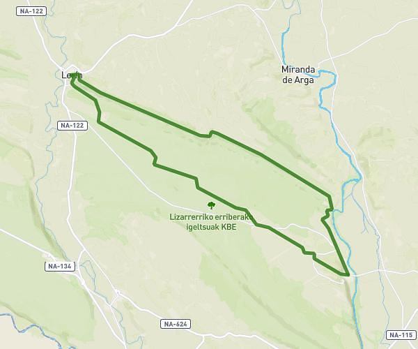
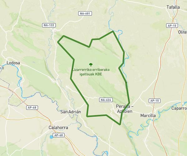
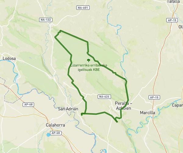
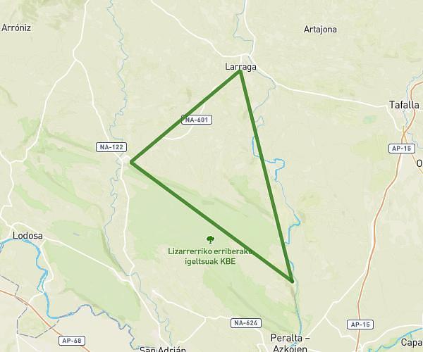
This cycling route covers 26.254mi starting from Falces, Navarre. The ride is a loop trail and returns to the trailhead. This route is rated as strenuous, plan for about 3h10m to complete it. The route has an elevation gain of 2687ft and an elevation loss of 2680ft.

Route profile

2687ft
Elevation gain
2680ft
Elevation loss
958ft
Min altitude
1663ft
Max altitude

How to get there

Trailhead: Calle Caballeros 6, 31370 Falces, Navarre, Spain

GPS coordinates of the trailhead: 42.387848, -1.79453 / 42°23'16'' N, 1°47'40'' W

Caution: May Cross Private Property

This route may pass through or near private property. Always respect posted signs, obtain permission where required, and follow local trespassing laws. MapPlanner does not guarantee public access along any route.

Safety Notice

Trail and road conditions may change without notice due to weather, construction, or other factors. Always verify current conditions before heading out. You are responsible for your own safety — follow local signage, obey traffic laws, and use your best judgment on the trail.