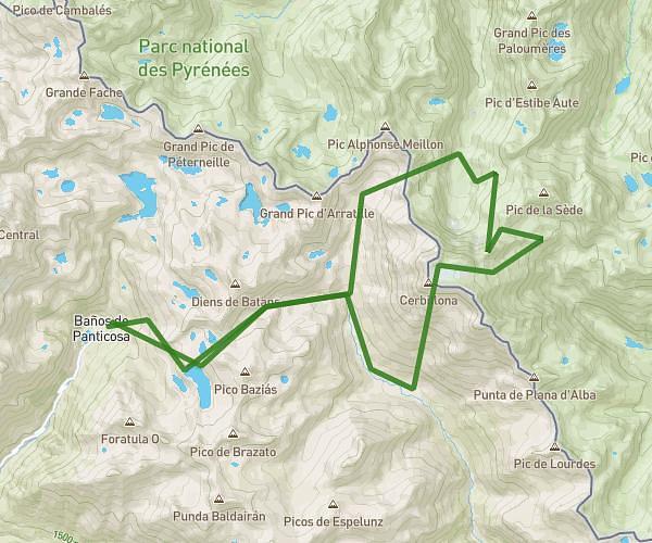
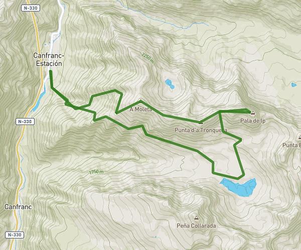
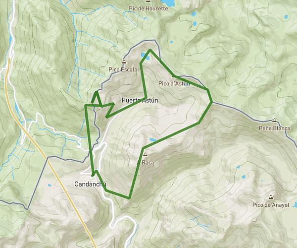
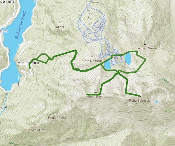
This running route covers 15.89mi starting from Canfranc, Huesca. The run is a loop trail and returns to the trailhead. This run is rated as strenuous, expect about 6h to complete it. The route has an elevation gain of 7346ft and an elevation loss of 7365ft.
KV el Porte + weltita al anayet
Route details
2.65mph
Speed
4116 kcal
Calories burned
Loop trail
Route type
4298ft
Min altitude
8304ft
Max altitude
High altitude
Route profile
7346ft
Elevation gain
7365ft
Elevation loss
4298ft
Min altitude
8304ft
Max altitude
How to get there
Trailhead: Pista De Coll De Ladrones, 22880 Canfranc, Huesca, Spain
GPS coordinates of the trailhead: 42.764195, -0.507424 / 42°45'51'' N, 0°30'26'' W