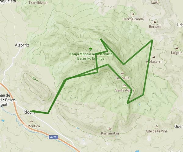
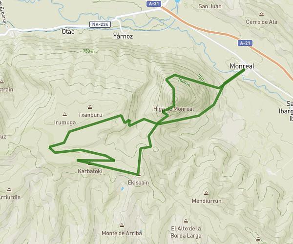
This running route covers 10.417mi starting from Yesa, Navarre. The run is a loop trail and returns to the trailhead. This run is rated as hard, expect about 3h30m to complete it. The route has an elevation gain of 1201ft and an elevation loss of 883ft.
Sierra de Leyre
Route details
2.98mph
Speed
2401 kcal
Calories burned
Loop trail
Route type
2707ft
Min altitude
3816ft
Max altitude
Route profile
1201ft
Elevation gain
883ft
Elevation loss
2707ft
Min altitude
3816ft
Max altitude
How to get there
Trailhead: Camino Del Pullizal, 31410 Yesa, Navarre, Spain
GPS coordinates of the trailhead: 42.636198, -1.170563 / 42°38'10'' N, 1°10'14'' W