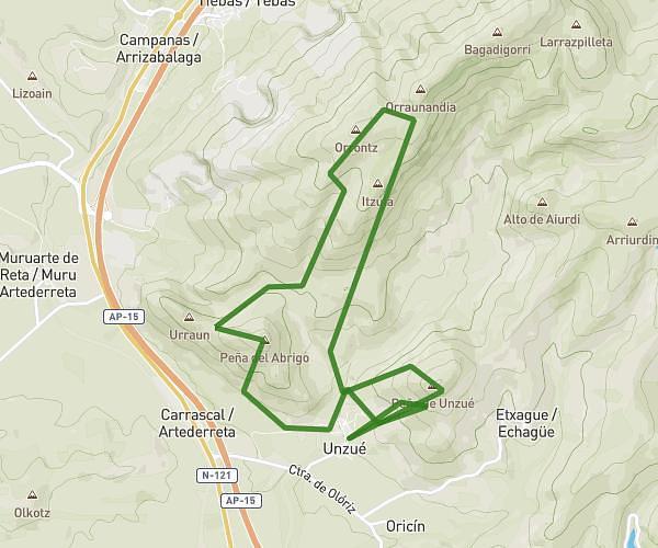
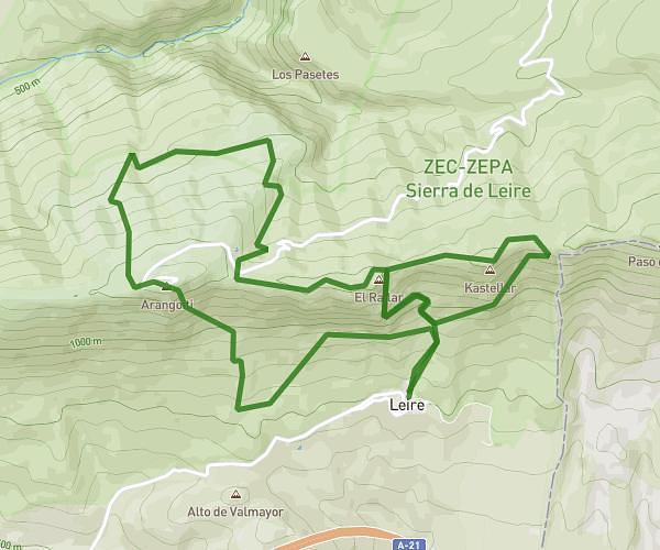
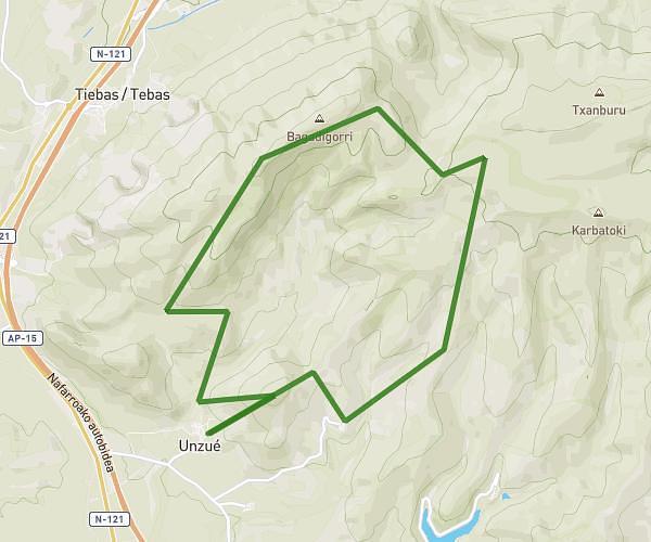
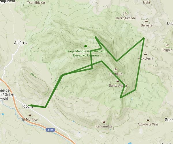
This running route covers 12.476mi starting from Monreal, Navarre. The run is a loop trail and returns to the trailhead. This run is rated as strenuous, expect about 3h to complete it. The route has an elevation gain of 3038ft and an elevation loss of 3025ft.
Higa de monreal
Route details
4.16mph
Speed
2058 kcal
Calories burned
Loop trail
Route type
1722ft
Min altitude
4016ft
Max altitude
Route profile
3038ft
Elevation gain
3025ft
Elevation loss
1722ft
Min altitude
4016ft
Max altitude
How to get there
Trailhead: Calle Del Mercado 6, 31471 Monreal, Navarre, Spain
GPS coordinates of the trailhead: 42.704023, -1.506502 / 42°42'14'' N, 1°30'23'' W