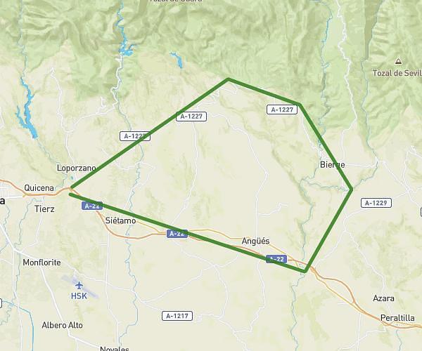
This cycling route covers 60.161mi starting from Huesca, Huesca. The ride does not return to the trailhead and ends near Calle De San Juan Bosco 1, 22003 Huesca, Huesca, Spain. This route is rated as strenuous, plan for about 5h to complete it. The route has an elevation gain of 1762ft and an elevation loss of 1677ft.
Subida castillo loarre y alrededores
Route details
2644 kcal
Calories burned
1.1%
Avg grade
Point to point
Route type
1463ft
Min altitude
3064ft
Max altitude
Route profile
1762ft
Elevation gain
1677ft
Elevation loss
1463ft
Min altitude
3064ft
Max altitude
How to get there
Trailhead: Calle De Dormer 12, 22002 Huesca, Huesca, Spain
GPS coordinates of the trailhead: 42.141007, -0.40947 / 42°8'27'' N, 0°24'34'' W