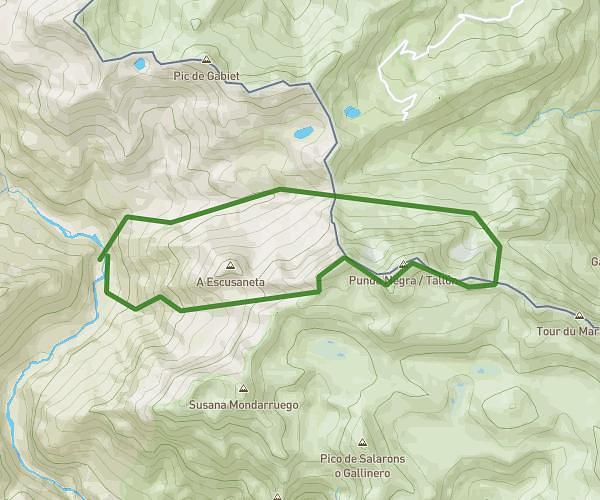
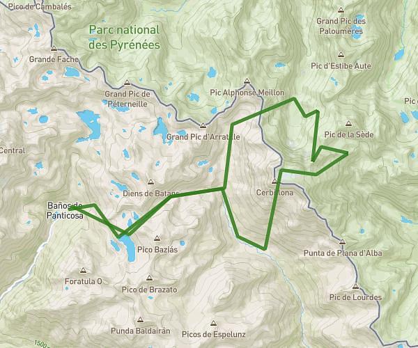
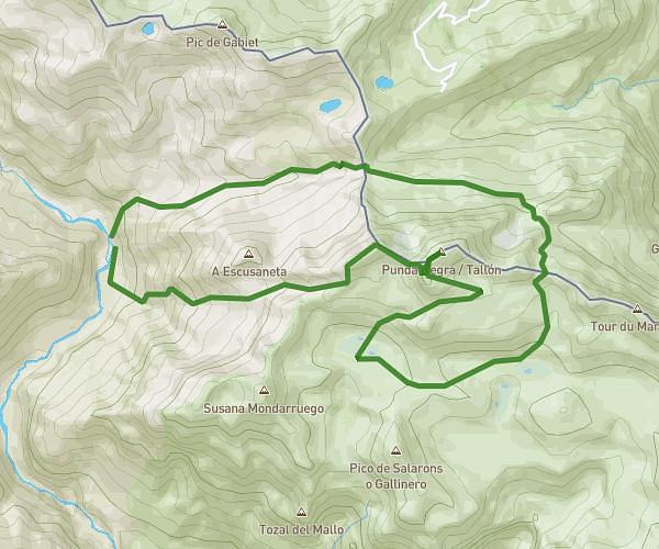
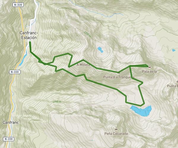
This running route covers 12.632mi starting from Sallent de Gállego, Huesca. The run is a loop trail and returns to the trailhead. This run is rated as strenuous, expect about 4h15m to complete it. The route has an elevation gain of 5472ft and an elevation loss of 5469ft.
Trama-ibón-peña telera-arco-trama
Route details
2.97mph
Speed
2916 kcal
Calories burned
Loop trail
Route type
3934ft
Min altitude
8930ft
Max altitude
High altitude
Route profile
5472ft
Elevation gain
5469ft
Elevation loss
3934ft
Min altitude
8930ft
Max altitude
How to get there
Trailhead: Calle De Zacalera, 22663 Sallent de Gállego, Huesca, Spain
GPS coordinates of the trailhead: 42.714043, -0.316357 / 42°42'50'' N, 0°18'58'' W