MapPlanner
27.97mi
Distance
2h49m
Duration
9.93mph
Speed
+1148ft
Elevation gain
-1155ft
Elevation loss
Strenuous
Level

Vélo medavy

Route details

1494 kcal
Calories burned
1.6%
Avg grade
Loop trail
Route type
479ft
Min altitude
1296ft
Max altitude

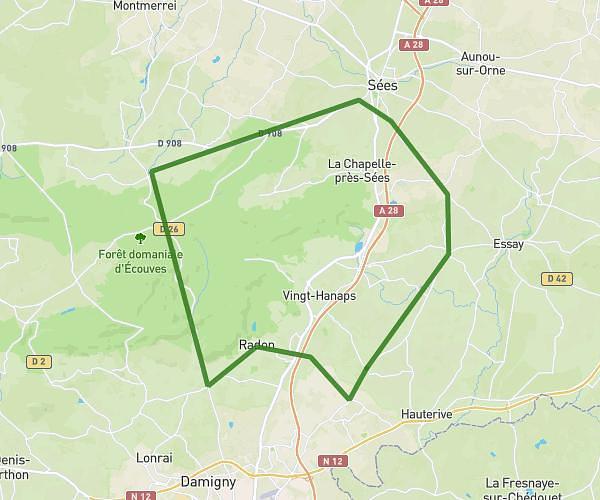
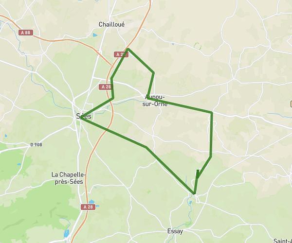
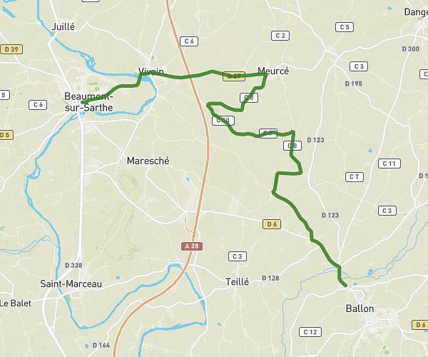
This cycling route covers 27.97mi starting from Larré, Orne. The ride is a loop trail and returns to the trailhead. This route is rated as strenuous, plan for about 2h49m to complete it. The route has an elevation gain of 1148ft and an elevation loss of 1155ft.

Route profile

1148ft
Elevation gain
1155ft
Elevation loss
479ft
Min altitude
1296ft
Max altitude

How to get there

Trailhead: D 31, 61250 Larré, France

GPS coordinates of the trailhead: 48.494934, 0.164278 / 48°29'41'' N, 0°9'51'' E

Caution: May Cross Private Property

This route may pass through or near private property. Always respect posted signs, obtain permission where required, and follow local trespassing laws. MapPlanner does not guarantee public access along any route.

Safety Notice

Trail and road conditions may change without notice due to weather, construction, or other factors. Always verify current conditions before heading out. You are responsible for your own safety — follow local signage, obey traffic laws, and use your best judgment on the trail.