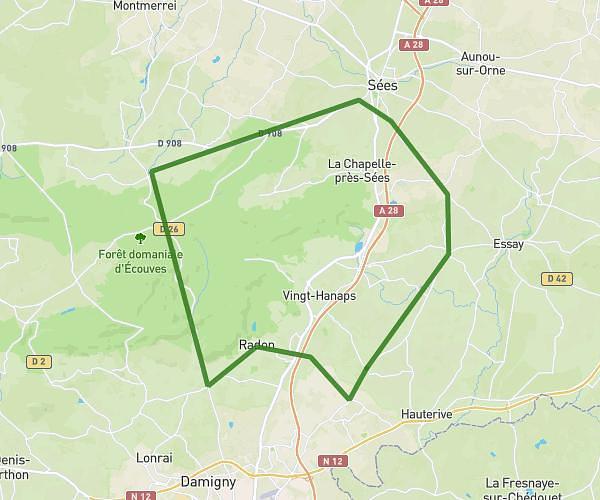
This cycling route covers 19.491mi starting from Boitron, Orne. The ride is a loop trail and returns to the trailhead. This route is rated as moderate, plan for about 1h15m to complete it. The route has an elevation gain of 174ft and an elevation loss of 174ft.
Aunou - Sées
Route details
660 kcal
Calories burned
0.3%
Avg grade
Loop trail
Route type
577ft
Min altitude
689ft
Max altitude
Route profile
174ft
Elevation gain
174ft
Elevation loss
577ft
Min altitude
689ft
Max altitude
How to get there
Trailhead: D 209, 61500 Boitron
GPS coordinates of the trailhead: 48.57103, 0.26427 / 48°34'15'' N, 0°15'51'' E