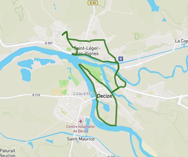
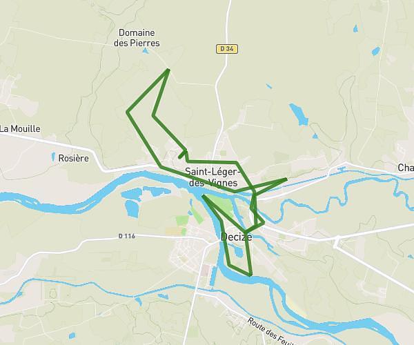
This running route covers 11.024mi starting from Saint-Léger-des-Vignes, Nièvre. The run is a loop trail and returns to the trailhead. This run is rated as hard, expect about 2h to complete it. The route has an elevation gain of 564ft and an elevation loss of 561ft.
Saint Léger 17K
Route details
5.51mph
Speed
1372 kcal
Calories burned
Loop trail
Route type
607ft
Min altitude
853ft
Max altitude
Route profile
564ft
Elevation gain
561ft
Elevation loss
607ft
Min altitude
853ft
Max altitude
How to get there
Trailhead: 14 Rue Du Champ Rouge, 58300 Saint-Léger-des-Vignes, France
GPS coordinates of the trailhead: 46.84306, 3.44652 / 46°50'35'' N, 3°26'47'' E