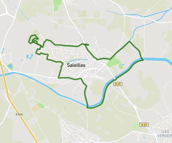
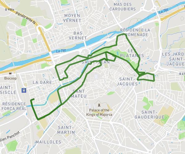
This running route covers 10.699mi starting from Perpignan, Pyrénées-Orientales. The run is a loop trail and returns to the trailhead. This run is rated as hard, expect about 1h55m to complete it. The route has an elevation gain of 217ft and an elevation loss of 223ft.
17km
Route details
5.58mph
Speed
1315 kcal
Calories burned
Loop trail
Route type
85ft
Min altitude
161ft
Max altitude
Route profile
217ft
Elevation gain
223ft
Elevation loss
85ft
Min altitude
161ft
Max altitude
How to get there
Trailhead: Pont Joffre, 66000 Perpignan, France
GPS coordinates of the trailhead: 42.70412, 2.89271 / 42°42'14'' N, 2°53'33'' E