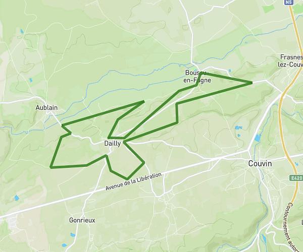
This running route covers 3.324mi starting from Froidchapelle, Hainaut. The run does not return to the trailhead and ends near Route De La Plate Taille 51, 6441 Froidchapelle, Hainaut, Belgium. This run is rated as easy, expect about 1h11m to complete it. The route has an elevation gain of 164ft and an elevation loss of 52ft.
Test raid
Route details
2.81mph
Speed
812 kcal
Calories burned
Point to point
Route type
715ft
Min altitude
850ft
Max altitude
Route profile
164ft
Elevation gain
52ft
Elevation loss
715ft
Min altitude
850ft
Max altitude
How to get there
Trailhead: Grand Rue 24, 6440 Froidchapelle, Hainaut, Belgium
GPS coordinates of the trailhead: 50.22645, 4.3767 / 50°13'35'' N, 4°22'36'' E