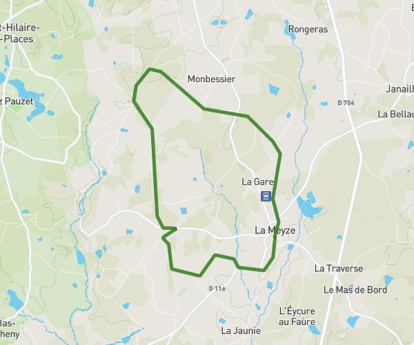
This running route covers 2.43mi starting from Limoges, Haute-Vienne. The run does not return to the trailhead and ends near 5 Rue De La Font Pinot, 87000 Limoges, France. This run is rated as easy, expect about 23m to complete it. The route has an elevation gain of 164ft and an elevation loss of 180ft.
4km RNFD
Route details
6.34mph
Speed
263 kcal
Calories burned
Point to point
Route type
709ft
Min altitude
761ft
Max altitude
Route profile
164ft
Elevation gain
180ft
Elevation loss
709ft
Min altitude
761ft
Max altitude
How to get there
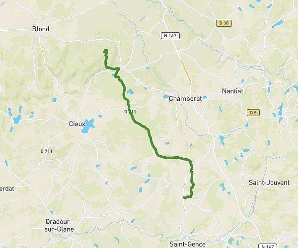
Trailhead: Port Du Naveix, 87000 Limoges, France
GPS coordinates of the trailhead: 45.8331, 1.27579 / 45°49'59'' N, 1°16'32'' E