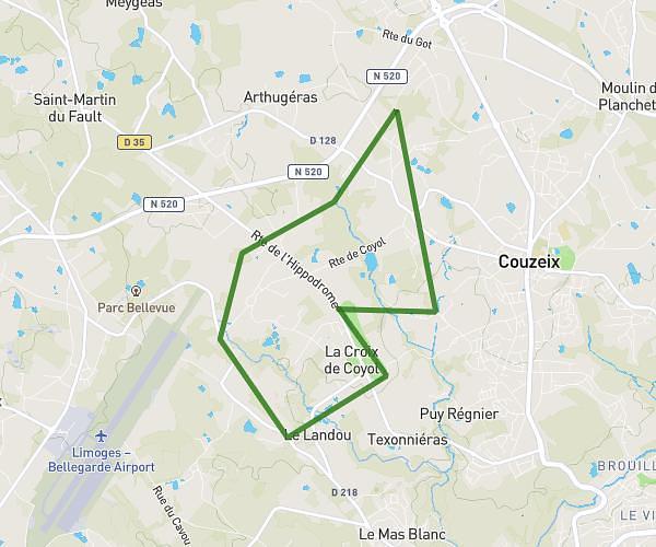
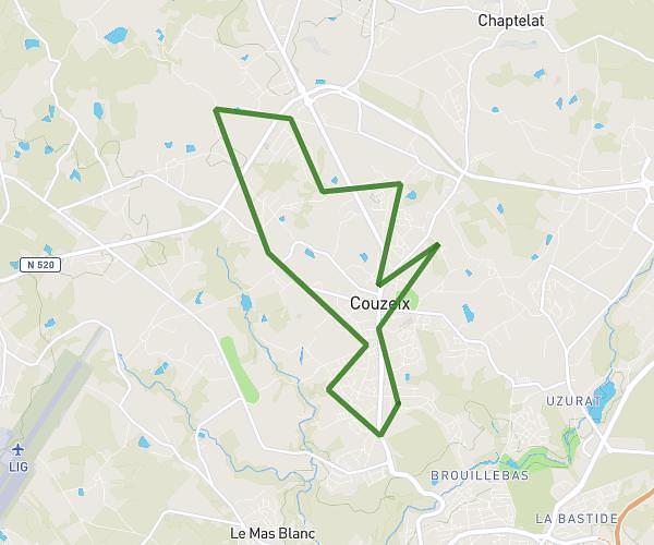
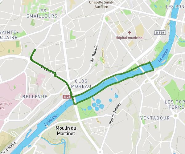
This running route covers 9.094mi starting from Peyrilhac, Haute-Vienne. The run does not return to the trailhead and ends near Voie Romaine, 87140 Vaulry, France. This run is rated as hard, expect about 1h38m to complete it. The route has an elevation gain of 417ft and an elevation loss of 39ft.
Peyrillac la chapelle de vaulerie
Route details
5.57mph
Speed
1120 kcal
Calories burned
Point to point
Route type
1017ft
Min altitude
1394ft
Max altitude
Route profile
417ft
Elevation gain
39ft
Elevation loss
1017ft
Min altitude
1394ft
Max altitude
How to get there
Trailhead: 10 Rue Léo Lagrange, 87510 Peyrilhac, France
GPS coordinates of the trailhead: 45.948789, 1.135146 / 45°56'55'' N, 1°8'6'' E