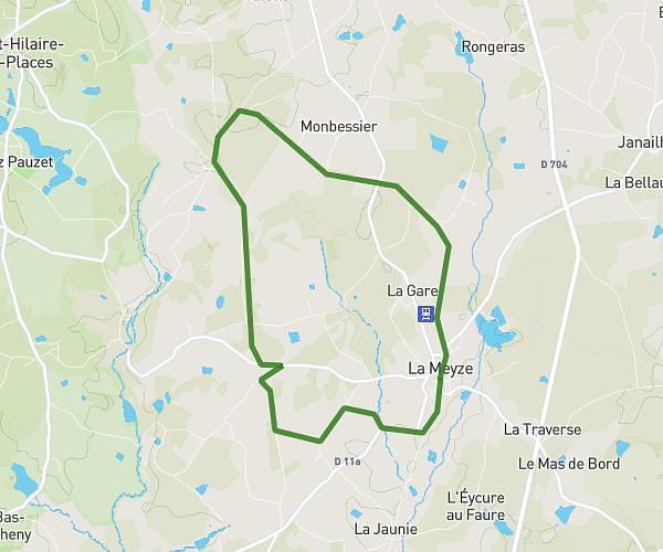
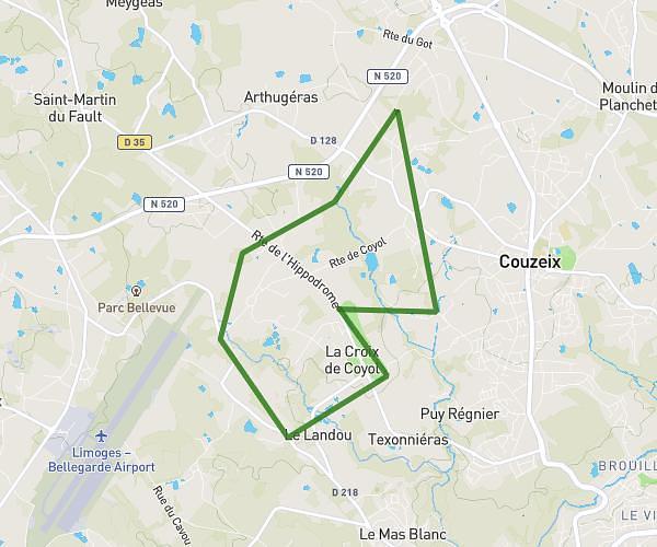
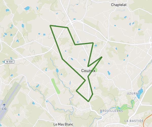
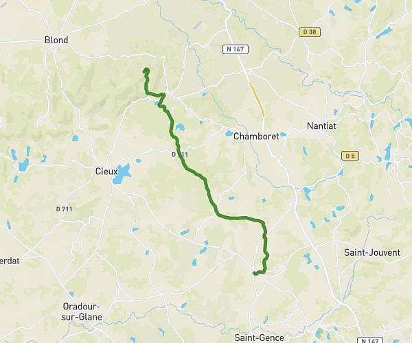
This running route covers 3.424mi starting from Limoges, Haute-Vienne. The run is a loop trail and returns to the trailhead. This run is rated as easy, expect about 36m44s to complete it. The route has an elevation gain of 262ft and an elevation loss of 285ft.
Santé Limoges 101125
Route details
5.59mph
Speed
420 kcal
Calories burned
Loop trail
Route type
886ft
Min altitude
1020ft
Max altitude
Route profile
262ft
Elevation gain
285ft
Elevation loss
886ft
Min altitude
1020ft
Max altitude
How to get there
Trailhead: 15 Rue De La Mauvendière, 87000 Limoges, France
GPS coordinates of the trailhead: 45.832872, 1.248992 / 45°49'58'' N, 1°14'56'' E